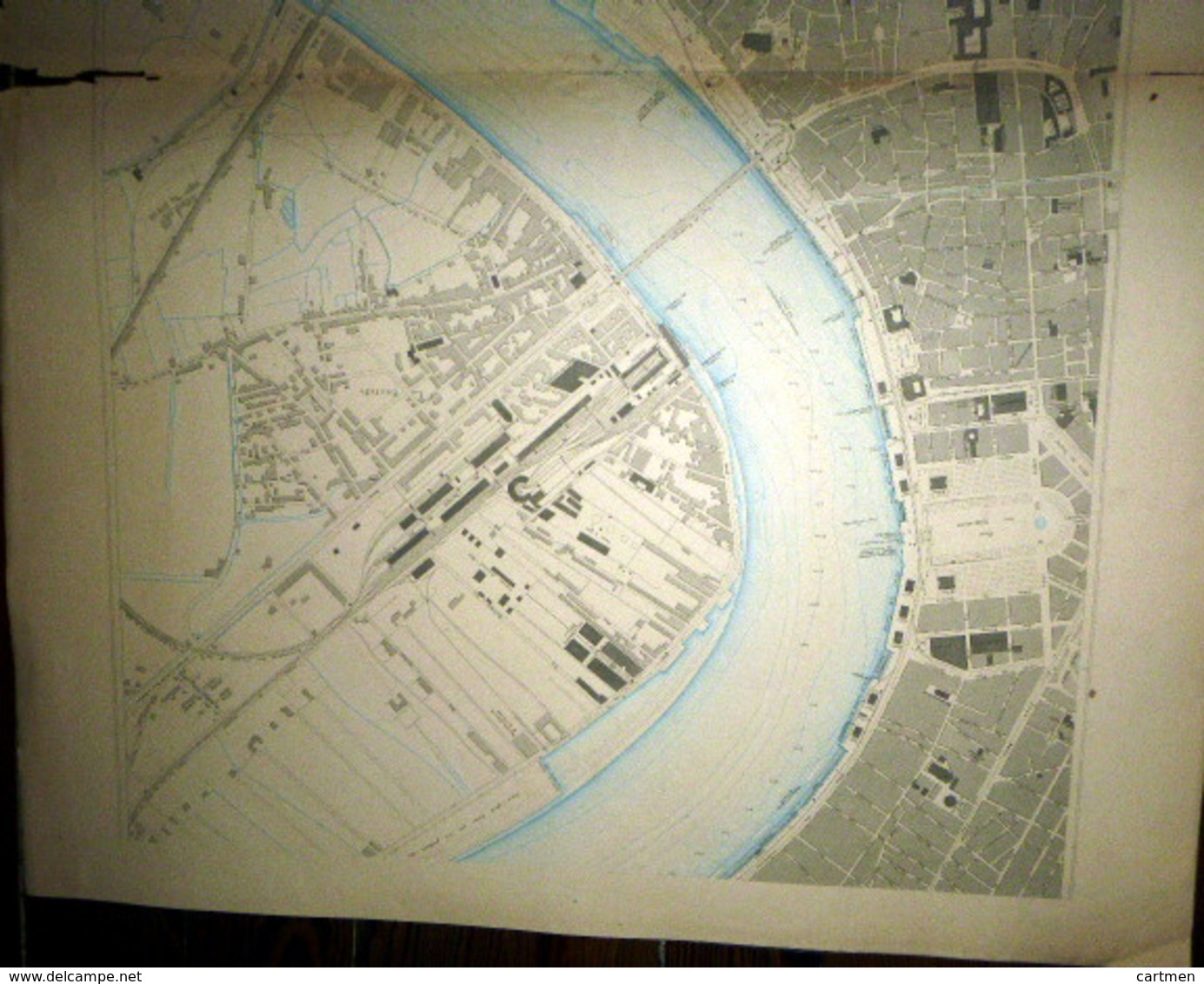
33 BORDEAUX DOUBLE PLANCHE PLAN DU PORT ET DE LA VILLE EN 1886 DE L'ATLAS DES PORTS DE FRANCE 98 x 66 cm

33 BORDEAUX DOUBLE PLANCHE PLAN DU PORT ET DE LA VILLE  EN 1886 DE L'ATLAS DES PORTS DE FRANCE 98 X 66 Cm - Cartas Náuticas
Pase el puntero del ratón sobre la imagen para ampliarla Pulsa para ampliar la imagen Haga clic para iniciar el vídeo

Únese a la comunidad de coleccionistas

Inscripción Conectarse